A laser scanning project follows a structured workflow from initial planning through data processing to final deliverable creation. The process involves site preparation, systematic scanning execution, and comprehensive data processing that transforms physical spaces into precise digital models. Timeline and complexity depend on site size, required accuracy, and deliverable specifications.
What exactly happens during a laser scanning project?
A laser scanning project begins with detailed planning and site assessment, followed by systematic data capture using laser scanning technology, and concludes with comprehensive data processing to create usable digital models.
The initial phase involves site reconnaissance, during which scanning positions are planned to ensure complete coverage without gaps. This planning takes into account access routes, safety requirements, and optimal scanner placement for maximum efficiency. The scanning team identifies potential obstacles and determines the number of scan positions needed based on site complexity.
During execution, high-precision laser scanners capture millions of measurement points per second, creating detailed point clouds of the physical environment. Each scan position captures overlapping data to ensure complete coverage. The scanners record both geometric information and visual data, documenting every surface and detail within the scanning range.
Reality capture technology combines multiple scan positions into a unified dataset. This process, called registration, aligns individual scans using common reference points to create a comprehensive digital representation of the entire site. Quality control checks verify data completeness and accuracy throughout the scanning process.
How long does a typical laser scanning project take to complete?
Industrial laser scanning projects typically require 2–6 weeks from start to finish, depending on site complexity, scanning area size, and required deliverable formats. Simple projects may be completed faster, while complex industrial facilities require extended timelines.
On-site scanning usually represents the shortest phase and is often completed within 1–3 days for most projects. However, larger industrial complexes or buildings may require several weeks of scanning time. Weather conditions can affect outdoor scanning schedules, potentially extending the on-site phase.
Data processing consumes the majority of project time, typically requiring 1–4 weeks depending on data volume and deliverable complexity. Creating basic point cloud files can be completed quickly, while developing detailed 3D models, technical drawings, or digital twins requires significantly more time. The processing timeline also depends on required accuracy levels and quality control standards.
Project complexity factors include site accessibility, required measurement precision, number of scanning positions, and environmental conditions. Construction industry laser scanning projects in active construction zones may require additional coordination time, while industrial facilities with complex piping systems need more detailed scanning and processing work.
What do you need to prepare before laser scanning begins?
Pre-scanning preparation requires site access arrangements, safety planning, equipment setup coordination, and documentation of project requirements to ensure smooth execution and optimal results.
Site access preparation involves coordinating with facility managers, obtaining necessary permits, and scheduling around operational activities. Industrial facilities may require shutdown coordination or work permit procedures. Clear access routes must be established for equipment transport, and parking areas identified for scanning vehicles.
Safety considerations include identifying hazardous areas, understanding facility safety protocols, and ensuring scanning personnel have the required safety training and equipment. Some industrial environments require specific safety certifications or escort personnel during scanning operations.
Documentation requirements include facility drawings, previous survey data, and specific measurement accuracy requirements. Project stakeholders should define deliverable formats, coordinate systems, and quality standards before scanning begins. This preparation prevents delays and ensures the final deliverables meet all project requirements.
Equipment preparation involves calibrating scanners, preparing backup systems, and ensuring adequate data storage capacity. Weather monitoring becomes important for outdoor projects, as adverse conditions can affect scanning quality and safety.
How is laser scanning data processed into usable formats?
Raw point cloud data undergoes systematic processing, including cleaning, registration, and format conversion, to create 3D models, technical drawings, and digital twins that serve specific business and technical applications.
Data cleaning removes unwanted elements such as temporary objects, people, or vehicles that were present during scanning. This process also eliminates noise and outlier points that could affect measurement accuracy. Quality control procedures verify data completeness and identify areas requiring additional scanning.
Registration combines individual scan positions into a unified coordinate system using common reference points and sophisticated alignment algorithms. This creates a complete, georeferenced dataset that accurately represents the entire scanned area. Advanced software automates much of this process while allowing manual refinement where needed.
Format conversion transforms point cloud data into various deliverable types based on project requirements. This includes creating CAD-compatible files, mesh models for visualisation, or specialised formats for BIM applications. The conversion process maintains measurement accuracy while optimising file sizes for their intended use.
Digital twin creation involves additional processing steps that incorporate operational data, creating dynamic models that support ongoing facility management and decision-making processes.
What types of deliverables can you expect from a laser scanning project?
Laser scanning projects produce diverse deliverables, including point cloud files, 3D models, technical drawings, and measurements that serve different business needs, from design and planning to facility management and documentation.
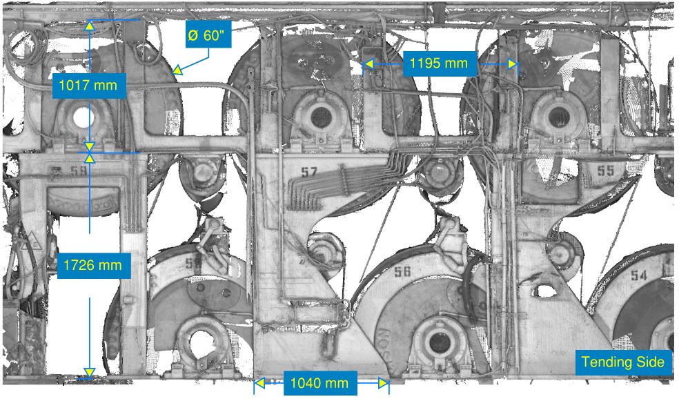
Point cloud files provide the most complete dataset, containing millions of precisely measured points that document every scanned surface. These files support detailed measurements and clash detection and serve as the foundation for all other deliverable types. Point clouds are particularly valuable for laser scanning investment projects, where comprehensive documentation is required.
3D models created through reverse engineering processes provide visual representations suitable for design work, presentations, and virtual reality applications. These models can be optimised for different purposes, from high-detail technical models to simplified versions for visualisation and communication.
Technical drawings include floor plans, elevations, and sections extracted from the 3D data with measured accuracy. These drawings integrate seamlessly with traditional design workflows and support architectural, engineering, and construction planning processes.
Digital documentation packages combine multiple deliverable types with measurement reports, accuracy statements, and metadata that document project specifications and quality standards. This comprehensive documentation supports long-term asset management and provides reference information for future projects.
If you need precise digital documentation for your industrial facility or construction project, we at N1digital specialise in comprehensive laser scanning services that transform physical spaces into actionable digital information. Our expertise in 3D measurement technology and digital modelling helps you make better decisions based on accurate, up-to-date facility data. Contact us for a quote to discuss your specific project requirements.