Laser scanning accelerates the design process by capturing precise 3D measurements of existing spaces and converting them into accurate digital models. This technology eliminates guesswork, reduces site visits, and provides designers with reliable baseline data that prevents costly revisions. The resulting point cloud data integrates seamlessly with modern design software, enabling faster decision-making and more efficient project workflows.
What is laser scanning and how does it capture design data?
Laser scanning, also known as laser surveying, uses light detection and ranging technology to measure distances and create detailed 3D representations of physical spaces. The scanner emits thousands of laser pulses per second, measuring the time it takes for each pulse to return after hitting surfaces. This process generates millions of precise data points that form a comprehensive point cloud.
The technology captures everything within the scanner’s range, including complex geometries, structural details, and spatial relationships. Each point in the cloud contains accurate X, Y, and Z coordinates, creating a digital fingerprint of the existing conditions. This reality capture method works effectively in both industrial environments and construction sites, providing millimetre-level accuracy that traditional measurement methods cannot match.
The scanning process converts physical spaces into digital 3D models that designers can manipulate and analyse. These models serve as the foundation for renovation projects, facility modifications, and new construction planning. The comprehensive data capture means you get complete documentation in a single site visit, rather than multiple trips with traditional measurement tools.
Why does laser scanning speed up the initial design phase?
Industrial laser scanning eliminates the time-consuming process of manual measurements and site surveys. Instead of spending days or weeks gathering baseline measurements, designers receive complete spatial data within hours of scanning. This immediate access to accurate information allows design work to begin much sooner than traditional methods would permit.
The precision of laser scanning data reduces the need for design revisions during later project phases. When you start with accurate existing conditions, your initial designs align better with reality. This accuracy prevents the costly discovery of measurement errors during construction, which often requires design modifications and project delays.
Designers can work remotely with confidence using point cloud data. Rather than making multiple site visits to verify measurements or check details, teams can examine the digital model from their offices. This remote capability particularly benefits projects in challenging locations or when travel restrictions apply. The comprehensive nature of the scan data means most design questions can be answered without returning to the site.
How does point cloud data integrate with modern design software?
Point cloud data from construction laser scanning works directly with Building Information Modelling platforms and Computer-Aided Design software. Most professional design applications can import and display point clouds, allowing designers to model new elements directly over the existing conditions. This integration creates a seamless workflow between reality capture and design development.
BIM platforms use point cloud data as a reference layer for creating accurate 3D models. Designers can trace building elements, extract dimensions, and verify spatial relationships directly from the scan data. The point cloud serves as a visual guide that ensures new designs fit properly within existing constraints and conditions.
Collaborative design processes benefit significantly from shared point cloud datasets. Multiple team members can access the same accurate baseline information, reducing coordination errors between different disciplines. Architects, engineers, and contractors can all reference the identical spatial data, improving communication and reducing conflicts during design development. The data remains consistent across different software platforms, maintaining accuracy throughout the design process.
What design challenges does laser scanning solve most effectively?
Laser scanning for investment projects proves most valuable when dealing with complex existing conditions that are difficult to measure conventionally. Renovation projects benefit enormously because the technology captures intricate details of older buildings where original drawings may be inaccurate or missing entirely. The comprehensive documentation helps designers understand exactly what they’re working with before proposing modifications.
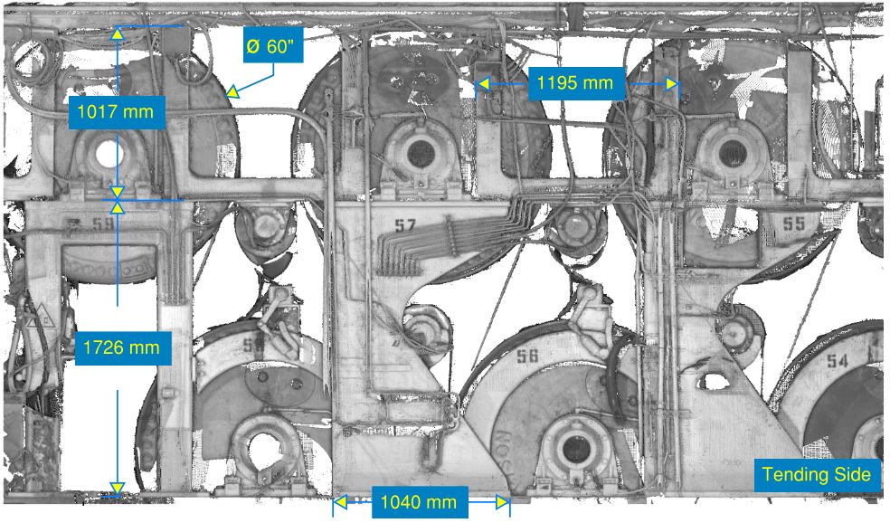
Industrial facility modifications present particular challenges that laser scanning addresses effectively. Process equipment, piping systems, and structural elements create complex spatial relationships that traditional measurement methods struggle to document completely. Laser scanning captures these intricate details in their entirety, enabling designers to plan modifications without interference issues.
Projects involving irregular geometries or curved surfaces benefit significantly from point cloud data. Traditional measurement tools work well for rectangular spaces but struggle with complex shapes. Laser scanning captures organic forms, curved walls, and unusual structural elements with equal precision. This capability proves particularly valuable in heritage buildings, industrial structures, and architecturally complex facilities.
Time-sensitive projects gain substantial advantages from laser scanning’s speed and completeness. When project schedules are tight, the ability to capture all necessary measurements in a single visit eliminates bottlenecks in the design process. The immediate availability of comprehensive spatial data allows design teams to work efficiently without waiting for additional site measurements.
Laser scanning transforms the design process by providing immediate access to accurate spatial data, enabling faster decision-making and reducing costly revisions. The technology’s integration with modern design software creates efficient workflows that benefit both simple renovations and complex industrial projects. We specialise in digital measurement and modelling services that support design teams throughout the project lifecycle, from initial reality capture through final documentation. Request a quote today to see how laser scanning can accelerate your next project.