Turn your assets to digital
Reality capture
The process of Reality Capture is a cutting-edge solution for converting the physical world into an accurate and precise, actionable and visually compelling digital presentation.
Reality capture
Why choose n1Digital?
Cross-Industry Expertise
Provides tailored reality-capture solutions for diverse fields, from AEC to heritage preservation.
High-Precision Scanning
Leverages laser scanning and dense point clouds to deliver ultra-accurate digital models.
Advanced Data Integration
Seamlessly merges captured data with VR, AR, and BIM platforms for robust project workflows.
Rapid Turnaround
Delivers efficient project execution and quick results without compromising on quality.
Turning physical into digital
What is reality capture?
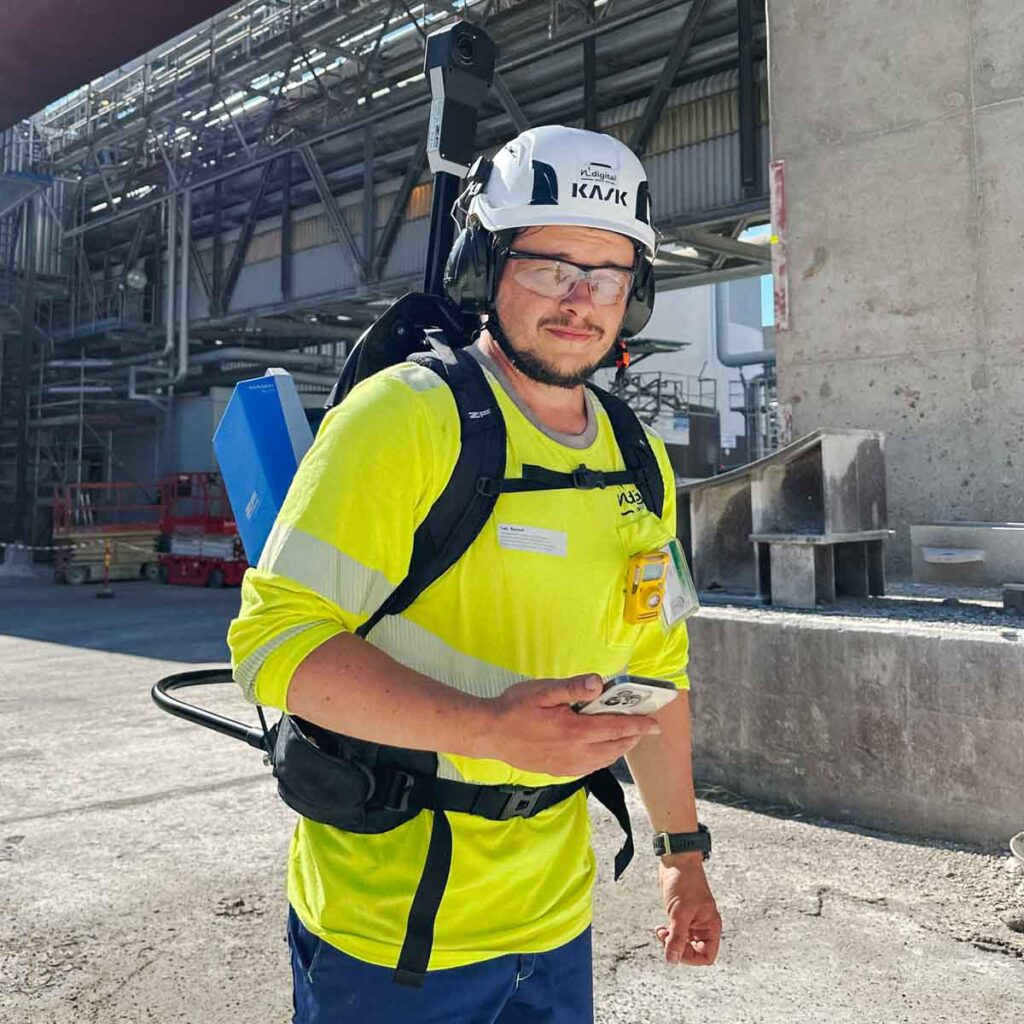
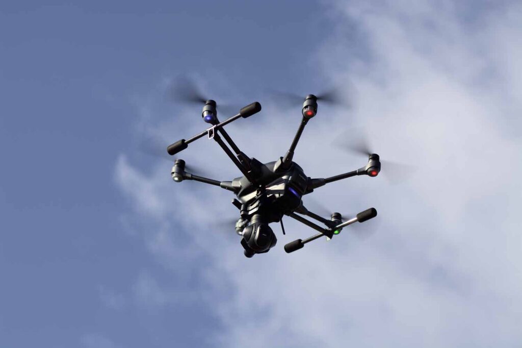
N1digital way holds all modern technology and tools for the Reality Capture process. Terrestrial and Airborne Laser scanning, Mobile laser scanning, Terrestrial and drone-based photogrammetry, Remote sensing and depth sensing are tools that N1digital utilizes, separately or in effective combination to fill the needs of the customer.
The goal is to create accurate and detailed digital models, visually rich engaging presentations that can be used for a wide range of applications, including documentation, analysis, simulation, photorealistic and data driven visualizations. If you need verified and accurate visual information about your asset, let us know and we’ll offer you a solution.
Experience Your Facility Like Never Before with N1digital AID
Step into your facility—virtually. With our proprietary AID-powered georeferenced 360° imagery, you gain a real-world perspective from anywhere. Inspect, analyze, and manage assets remotely, reducing safety risks and eliminating unproductive travel time.
AI-Powered Asset & Inventory Management
Optimize your inventory effortlessly with AI-driven solutions. Our extensive AID-powered 360° image database streamlines daily operations, making asset management intuitive, visual, and highly efficient. Let AI do the work, so you can focus on what matters most.

Our method:
Laser Scanning
Mobile Scanning
Photogrammetry
Want to learn more?
Get in touch!
Our experts would love to tell you more about, how we can help your company become more efficient.
Janne Nyrhi
We operate worldwide
Request a quote
Looking to bring your project to life? Whether you're in the initial planning stages or ready to dive into execution, our team is prepared to deliver customized, high-quality solutions tailored to your needs. Simply fill out the form below with your project details, and one of our experts will get in touch with a personalized quote. We’ll work closely with you to ensure every aspect of your vision is realized.